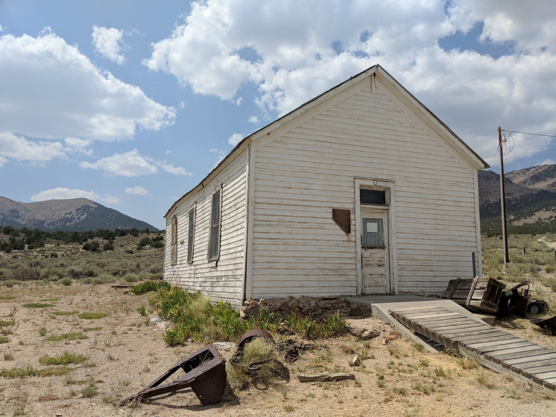
Western Historical Markers is a series of free and open source mobile applications that serve as interactive guides to historical markers throughout Western United States, allowing users to find historical markers near them and even view the contents of the markers on their mobile devices.
This project began on a barstool in Gold Hill, Nevada (just downhill from iconic Virginia City) when the developer came up empty-handed in a search for a mobile app that could ably serve as a guide for exploring the history of the Comstock. The first prototype of this project was a simple list-based guide to the official historical markers designated by the Nevada State Historic Preservation Office, and the project has since evolved into a codebase that can be easily repurposed for creating location-driven guides to regional history.
The code in the project’s GitHub repository supports the following published iOS applications (in the order they were released):
- Nevada Historical Markers
- New Mexico Historical Markers
- Arizona Historical Markers
- Colorado Historical Markers
- Montana Historical Markers
- California Historical Markers (coming soon!)
Notable features include:
- View markers in a list (optionally sorted by distance to the user’s location) or in an interactive map that uses marker clustering and multiple basemaps;
- See details of each historical marker, including the marker’s location, its inscription, relevant background information, and (for most markers) photos of each marker itself and its surrounding area;
- Interact with marker content and photos even if your device is offline — marker photos can be downloaded in-app for offline use;
- Create your own variant of this app easily by using this code as a plug-and-play template, as historical marker content is stored in a simple and standardized GeoJSON-based data structure.